Our way of looking
Lookoutraplunzo was founded by overland walkers, cartographers, and large-format landscape photographers who grew weary of sensational travel writing that treats fragile watersheds as trophies to collect.
Places as Living Environments, Not Secrets to Exploit
When a publication bills a canyon or forest bench as a "hidden secret," it frames the landscape as a novelty whose value lies in exclusivity. In reality, every basalt amphitheater, subalpine saddle, and old-growth spruce grove is an active ecological system supporting amphibians, nesting raptors, lichens, and indigenous cultural histories.
We lead every entry in this atlas with the physical approach and the geological character of the terrain. By describing how long the gravel road takes, how steep the root-laced descent feels, and how rainwater moves across the rock, we invite readers who value the entire walk—not just a thirty-second snapshot at the turnaround.
How We Verify Field Entries
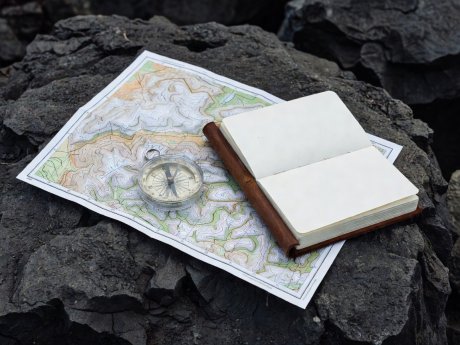
Every route published on lookoutraplunzo.com is cross-checked against current US Geological Survey 7.5-minute topographic quadrangles, US Forest Service Motor Vehicle Use Maps (MVUM), and Bureau of Land Management surface-management sheets. We record odometer intervals from paved state highways and note seasonal gate protocols.
Three Commitments
1. Honest Access Facts: We state road conditions, elevation changes, and easement rules plainly.
2. Natural Tonal Rendering: Our photographic suggestions emphasize real atmospheric light rather than composite sky replacements.
3. Habitat First: If a riparian alcove or cliff rim shows signs of severe trampling or nesting disturbance, we withhold micro-routing until recovery occurs.