Paths beneath the canopy
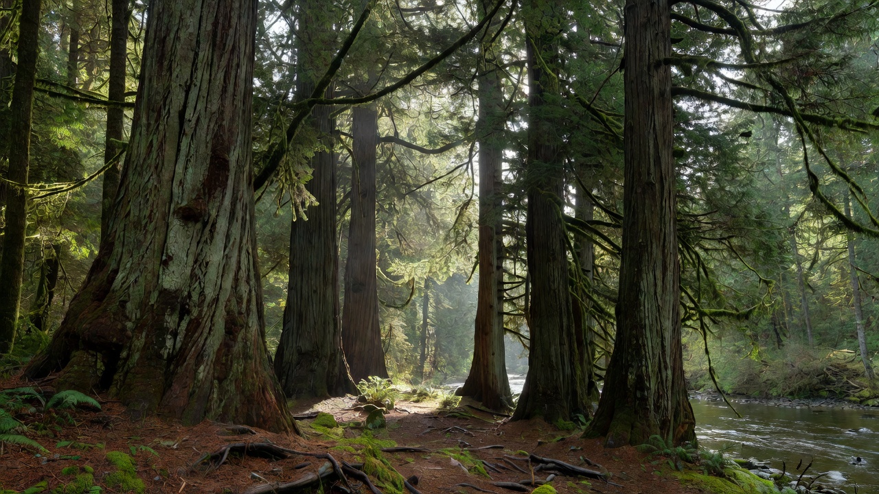
Walking into an unlogged watershed alters your sense of scale and sound. Two-hundred-foot Douglas-fir and western redcedar crowns intercept ninety percent of direct sunlight, filtering harsh skies into a quiet green-gold luminescence where sword ferns, oxalis, and epiphytic lungwort lichens thrive.
Valley of the Giants (North Fork Siletz Watershed)
Navigating the Valsetz & BLM 8-7-9 Network
From Falls City (west of Dallas, Oregon), follow Black Rock Road west to where pavement ends at the BLM gate (open during daylight hours; closed during extreme autumn fire danger or heavy winter snow). Reset your trip odometer at the gate and follow the main BLM 8-7-9.1 and 7-8-35 haul road corridor for 22 miles through working timberlands, watching carefully for active logging trucks on blind corners.
Follow brown directional signs down into the deep canyon of the North Fork Siletz River to the small streamside turnaround. There is no cellular reception along the entire 26-mile corridor; download offline maps and carry a full tank of fuel before leaving Dallas or Monmouth.
Ordering Chaos in Deep Woodland
Woodland photography fails when bright sky holes pierce the upper corners of the frame, pulling the viewer's eye away from the subtle bark textures below. Tilt your camera slightly downward or use an 85mm to 135mm telephoto lens to compress three or four massive vertical trunks against a backdrop of drifting river mist.
Visit during steady autumn rain when wet Douglas-fir bark shifts from pale gray to deep chocolate-plum and oxalis leaves carpet the nurse logs in saturated emerald.
Cummins Creek & Gwynn Creek Old-Growth Loops
Protected as a designated federal wilderness rising directly from the Pacific shoreline between Yachats and Florence, Cummins Creek preserves one of the finest remaining coastal Sitka spruce and western hemlock sanctuaries in Oregon. Unlike inland valleys, marine fog rolls directly off the ocean into the upper ridges almost daily.
-
Neptune South Trailhead (US-101 Milepost 170.6)
Begin in coastal shore pine and salal before climbing steadily onto the south ridge divide.
-
Spruce Monolith Ridge (Miles 1.5 to 3.8)
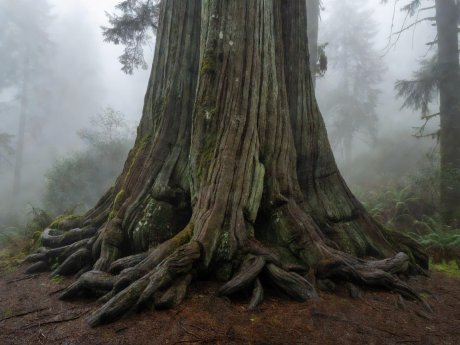
Walk beneath eleven-foot-diameter Sitka spruce trunks fluted with massive buttress roots and draped in clubmoss.
-
Creek Bottom Ford & Return
Descend into the main Cummins Creek drainage where salmonberry and devil's club border clear gravel spawning beds.
Cleaning Boot Treads
Before entering ancient forest reserves, brush dried mud and seeds from boot lugs and tripod spikes to avoid introducing invasive false brome or pathogen spores into pristine watersheds.
Reading Woodland Fog Conditions
Marine Inflow on Coastal Ridges
When warm inland valleys draw cool marine air onshore in late afternoon, stratus clouds intersect coastal ridges at 600 to 1,400 feet elevation, wrapping upper spruce trunks in moving white veil.
Post-Rain Morning Sunbeams
When a night of heavy rain is followed by a clear morning sky, solar heating of damp canopy foliage creates dense steam that breaks into crisp crepuscular rays between 8:30 AM and 10:00 AM.
Manual White Balance
Auto white balance often neutralizes the cool cyan-blue mood of shaded mist or over-corrects green canopy cast into magenta. Set white balance manually between 5200K and 5600K for consistent tonal rendering.