Edges with a wider view
Standing at an abrupt structural break—whether a Basin and Range fault escarpment or a wave-undercut marine headland—reveals how drainage, wind, and rock strata organize an entire region. Reaching these quieter overlooks safely requires respect for sudden barometer shifts, high exposure, and fragile rim vegetation.
Steens Mountain East Rim & Kiger Gorge Overlooks
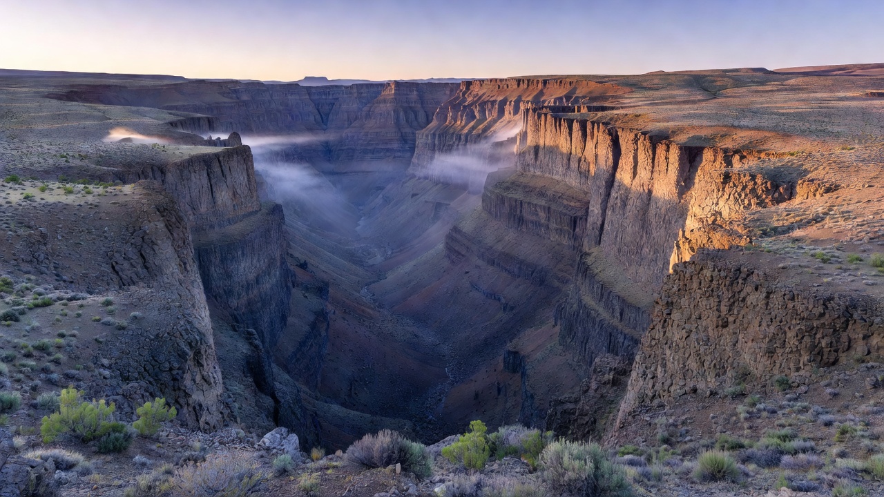
Steens Mountain Backcountry Byway (North Entry)
From Burns, travel south on OR-205 for 60 miles to Frenchglen. Turn east onto the signed Steens Mountain Loop Road (unpaved BLM gravel road; 52 miles total). The northern approach climbs steadily for 22 miles through western juniper and aspen belts to the Page Springs and Fish Lake junctions before breaking out above tree line.
At mile 27.5, turn left onto the signed spur for Kiger Gorge Viewpoint, or continue to the East Rim parking area at mile 29.8 (0.5-mile rocky walk to the 9,733-foot summit ridge). Do not attempt the Southern Rooster Comb section without high-clearance tires and confirming that the snow gates above Big Indian Gorge have been officially opened by BLM crews.
Working Across Five Miles of Vertical Air
The East Rim drops nearly a vertical mile straight down to the white alkali flats of the Alvord Desert. Because it faces due east, the first 15 minutes after sunrise bathe the layered Miocene Steens Basalt flows in intense copper-rose light while the desert floor below still holds blue shadow.
For Kiger Gorge, walk 300 yards west of the main stone wall along the durable basalt rim path so the classic U-shaped glacial trough aligns with the distant Pueblo Mountains. Use a 35mm to 85mm focal length to preserve the sheer depth of the headwall without distorting the horizon line.
Cape Perpetua Whispering Spruce & Cook's Chasm Rim
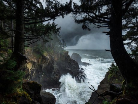
Salt Spray & Lens Protection
Even 800 feet above sea level, gale-force southwest winds carry aerosolized sea salt onto front lens elements. Keep a dedicated microfiber cloth and distilled water atomizer inside a dry pocket.
Towering 800 feet directly above the surf line of the central Oregon coast, the upper basalt headland of Cape Perpetua offers one of the steepest ocean-to-forest gradients in North America. While most visitors stop briefly at the paved timber shelter, following the Whispering Spruce Trail east along the narrow stone parapet reveals wind-sculpted krummholz conifers framing miles of breaking winter swells.
-
Forest Road 55 Entry
Turn east off US-101 just south of the Cape Perpetua Visitor Center onto USFS Road 55 and climb 1.9 miles through dense Sitka spruce to the upper day-use lot.
-
CCC Stone Parapet Walk (0.3 Miles)
Follow the 1933 Civilian Conservation Corps stone footpath along the western rim to the historic masonry shelter.
-
Spruce Margin Spur
Continue along the east-loop bench where gnarled spruce branches act as natural dark frames against the silver ocean horizon.
Twilight Phases, Wind Stability, and Rim Ethics
Looking Opposite the Sun
Twenty minutes after sunset, turn 180 degrees away from the western horizon. The rose-lilac band of the Belt of Venus hovers directly above the rising dark slate wedge of Earth's shadow—providing low-contrast, luminous light for layered ridge silhouettes.
Eliminating Micro-Vibration
On exposed basalt points, detach neck straps from your camera body so they do not act as wind sails. Turn off lens optical stabilization when locked onto a heavy tripod, or switch to a 1/125 sec shutter speed at ISO 400.
Alpine Fellfield Protection
High ridges above 8,000 feet support compact lupine, phlox, and buckwheat cushions that endure nine months of frost. Step solely on angular talus blocks and established gravel pads.